Deforestation Detection in Peru
Deep learning model that maps forest loss in the Peruvian Amazon from Sentinel-2 imagery.
The Challenge
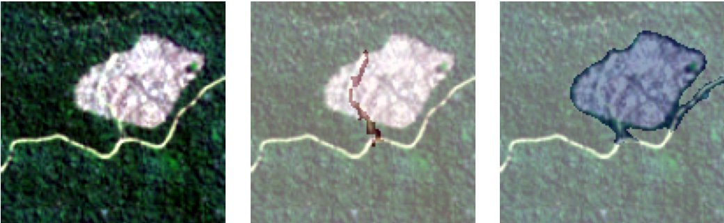
Deforested areas cover only about 2.9% of the pixels in the images, so a model can reach high accuracy and still miss almost all forest loss. We needed a model that finds small clearings by comparing an image taken before with one taken after.
Our Solution
We built the full pipeline: Sentinel-2 download through STAC, mask creation from 9,910 official SERFOR polygons, and a U-Net with a ResNet34 encoder trained in PyTorch on 8 bands (red, green, blue and near-infrared, before and after). We tested 7 configurations, changing encoders, NDVI bands and loss functions, and built a web tool to review and correct the labels.
Key Results
- IoU 0.413 and F1 0.584 on the test set
- 1,039 curated image pairs (727 train, 156 validation, 156 test)
- Public code and a web tool to review labels
Project Info
Interested in similar results?
Let's discuss how we can apply these solutions to your project.
Contact Us